[eye_row data_width=”container”][eye_column data_width=”0-12-0″][eye_text]
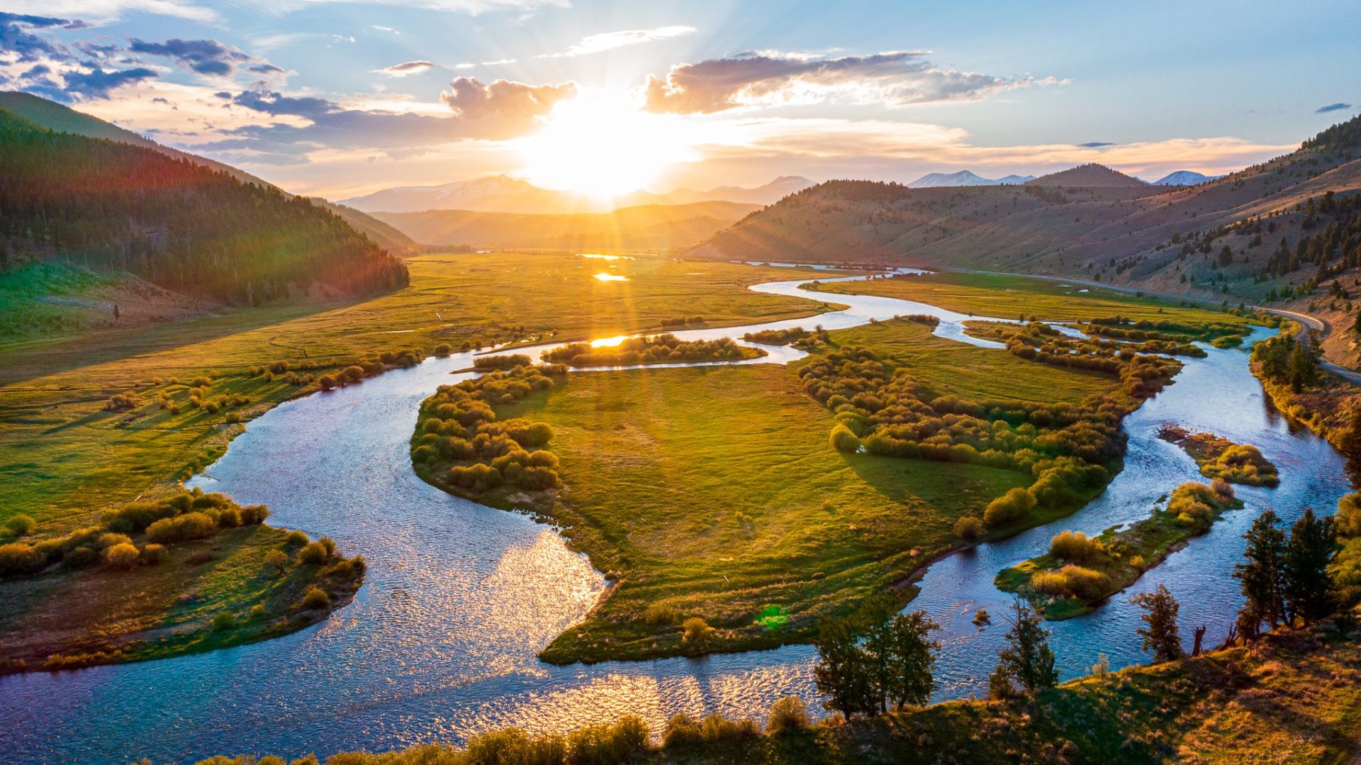
For many people, their annual fly fishing trip to fish the Big Hole River, Beaverhead River, and Jefferson River in Southwest Montana is the highlight of their year. They need to plan their fly fishing trip months in advance to ensure they can get the time off work, schedule a guided fishing trip with an experienced Montana fly fishing guide, plan their travel, and book a hotel or campground.
A big part of the decision making process is to get information on the river flows of the rivers they plan to visit during their fishing trip, to time their trip for when the river is flowing best and the fishing conditions are optimal. Many people check a particular river’s conditions by visiting a fly shop’s website, where this information is usually kept up to date.
Every spring at the Sunrise Fly Shop we get hundreds of phone calls and inquiries about what we think the Big Hole River flows will be throughout the entire summer so they can plan their Montana fly fishing vacation. As ridiculous as it may sound, we usually have enough data that we can give our clients and customers an answer. No, we don’t claim to be Nostradamus, we just use a number of key indicators and a little bit of logical deduction to produce an educated guess. Never forget, trying to predict long-term weather and river flows is nothing more than an educated guess.
Below are the indicators that we look at, as well as how we use them to help better guess what summertime weather and stream-flows will be in Southwest Montana so people can plan their fly fishing vacation on our local rivers.
• Is it an El Niño or a La Niña year? – El Niño and La Niña years are characterized by variations in the temperature of the surface of the tropical eastern Pacific Ocean. The warming or cooling of the ocean water, known as El Niño and La Niña respectively, has a significant effect on the Pacific coast and the Rocky Mountain region. El Niño accompanies high air surface pressure in the western Pacific, while the cold phase, La Niña, accompanies low air surface pressure in the western Pacific. These climate variations cause extreme weather during the year of the specific cycle. For Southwest Montana and fly fishing in Montana, we typically view El Niño years as years that we can expect to see both lower than average winter snowpack and annual precipitation. As for La Niña it is the exact opposite. During La Niña years we can expect to see higher than average water in most of our southwest Montana rivers.
• What percent of average is the winter snowpack? – A substantial percentage of river-flows in the western United States originate as melting mountain snowpack. Over most of the western United States, winter precipitation in stored in the mountains as snow. This winter snow is accumulated in the mountains as snowpack and stored in the soil as groundwater. This winter snowpack is the primary way in which winter precipitation is stored and transferred to the rivers during Montana’s relatively dry summers. The larger the winter snowpack, generally the larger the spring runoff will be and the higher the summer flows will be. The Big Hole River lies within the Jefferson River Drainage. To monitor the annual snowpack in any of Montana’s major river drainages, take a look at the Montana Snow Precipitation Update Websitehttp://www.wrds.uwyo.edu/wrds/nrcs/updatesur/update-mt.html
• Is the National Weather Service predicting a warm or a cold spring? More and more, computer modeling is helping to advance the science of meteorology. The Nation Weather Service and the National Oceanic and Atmospheric Association have created a Climate Prediction Center for the United States. Over the last 5 years, these long-term predictions have proven to be surprisingly accurate. Even though the long-term forecasts are only a general prediction of weather trends, they have helped us to predict upcoming temperature and precipitation patterns. http://www.cpc.ncep.noaa.gov/
• What is the current river flow? – Rarely does a day go by that we are not asked the question “What is the flow of the Big Hole River today?” We are fortunate enough to have 10 USGS river-flow gauge stations on the Big Hole River that are updated 12 times a day, and a USGS website that we can access to check these updates. These gauge tations show us the current flow and river height. Some gauges even record river temperature. This data on its own is helpful in understanding current river conditions, but because the USGS website uses graphs to chart the flow and gauge-height trends, we are able to know whether a river is on the rise, dropping, or holding steady – all of which are helpful in predicting how a river will fish.http://waterdata.usgs.gov/MT/nwis/current/?type=flow
[/eye_text][/eye_column][/eye_row]